
Walk a Plymouth Street Directory Route
Start with the address exactly as it appears on a deed, notice, old letter, or map. Hennepin County's parcel tools are built around the property, so they can confirm a situs address, legal description, current and prior taxes, sales information, and recent recording references. They do not create a complete household list. A taxpayer or mailing address can differ from the property address, and neither should be treated as proof of every current occupant. A careful Plymouth street directory note separates what the record says from what still needs confirmation.
- Enter the house number and street name in Hennepin PINS. Add a unit only when the address needs it, then retain the returned PID, or 13-digit property identifier.
- Compare the parcel with the Hennepin Property Map and Plymouth's ParcelViewer. Map layers place the parcel beside roads, lots, lakes, zoning, and city limits.
- Use the PID or legal description to approach deeds and title records. The legal description, rather than a casual street spelling, controls land-record research.
- For a lawful election-record purpose, use the state registration system only as a registration-status check. It is not a general street roster.
- For a dated household lead, compare historical directories, telephone finding aids, yearbooks, or newspapers at Hennepin Library, then record the publication year and page.
That route keeps the address trail honest: parcel data establishes land context, a recorded document establishes a transaction, and a dated directory may establish a historical listing. Each answers a different question.
PINS Rules for Plymouth Street Searches
The Hennepin Property Information Search, usually called PINS, is the first practical Plymouth street directory tool. Its address tab requires a house number and street name. The county advises using at least three characters for the street name, placing a direction at the end, and trying the county's suffix forms rather than guessing a match failed. An optional unit field narrows multi-unit results. PINS also has PID and addition tabs, which matter when a normal address has changed or a plat identifies the parcel more clearly than the street name.
| PINS route | Fields or format | Street-research use |
|---|---|---|
| Address | House number and street name required; unit optional | Finds a property by its situs address. |
| PID | 13 digits; spaces and dashes accepted | Returns a known parcel directly. |
| Addition | Addition name required; lot and block optional | Connects subdivision language to a parcel. |
| Street spelling | County suffix and direction abbreviations | Tests a normalized form before marking a search unresolved. |
County Road and highway names need extra care. The PINS instructions use forms such as Co Rd No 101 and State Hwy No 7. PINS is updated on weekday nights at about 9:15 p.m. Central Time, so retain the date of a current parcel result. The portal does not expose an owner-name field, which is why a name-to-property search shifts to Recorder records rather than pretending PINS is a name directory.
Map a Plymouth Address Result
Plymouth ParcelViewer is useful after an address or PID has anchored the search. Its public map-service layers include house numbers, businesses, zoning, lakes, building footprints, roads, city limits, parcels, a Plymouth outline, and a grid. Find, query, identify, and export functions support geographic checking. The service can show why an address falls near a lake, boundary, road, or neighboring parcel, but it does not supply a person-name search and a map edge is not a legal survey line.
Hennepin Property Information Search documents the address, PID, and addition routes used to begin a Plymouth parcel search.
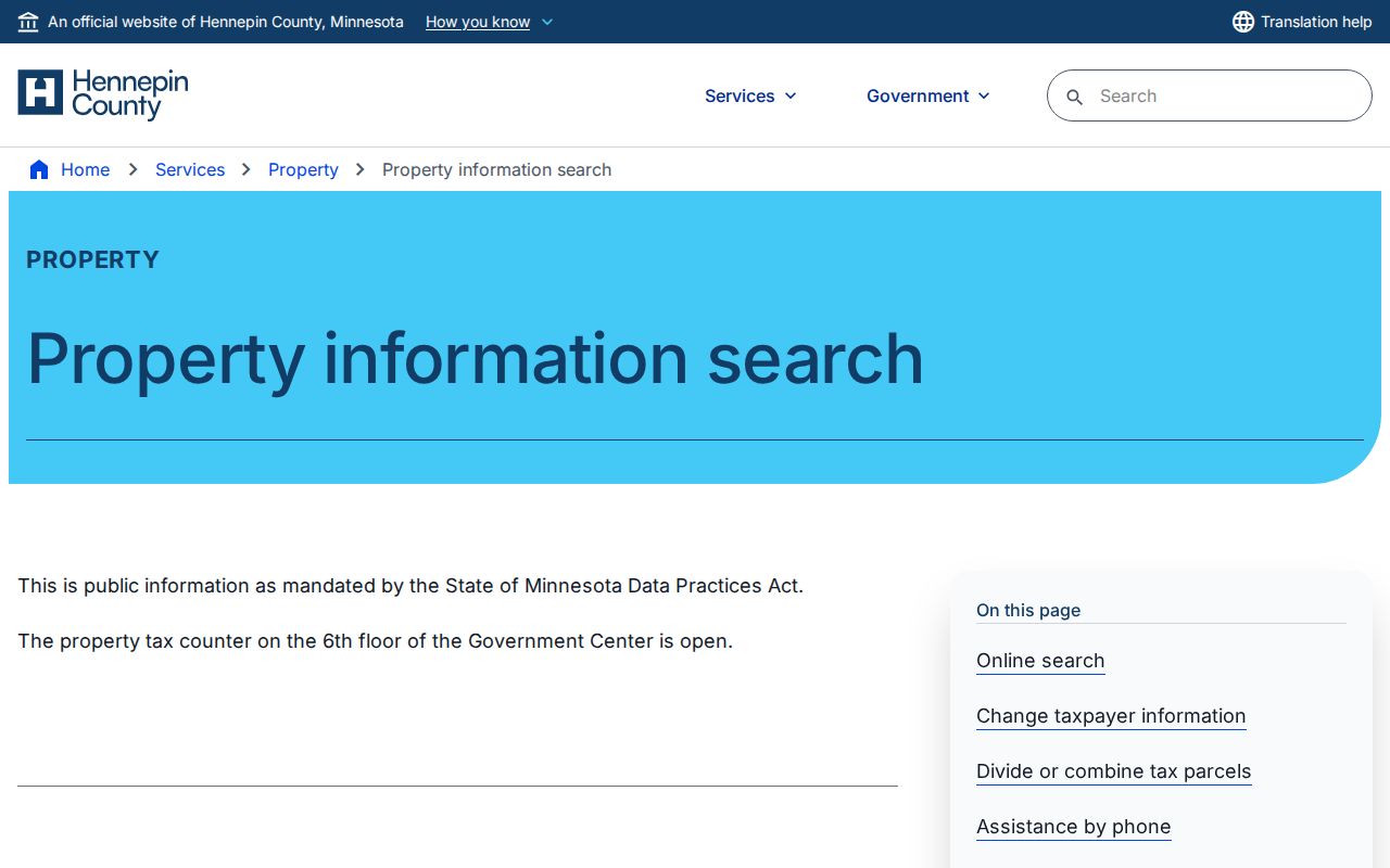
The address-focused screen is a reminder to enter only the property components requested, then move to the parcel and title record that fits the question. It is not evidence of a complete household.
Plymouth Records Linked to an Address
Several custodians hold different address-keyed pieces of a Plymouth street directory trail. The county assessor and land-information system supplies parcel and assessment context. The Recorder or Registrar holds title and recording indexes. The city controls permit and inspection requests. Library and archive sources carry older addresses in time-stamped publications. Combining them can identify a property or a historic listing, but it cannot convert separate record types into an undisclosed current roster.
| Address record | Custodian | What the record can show | Access route |
|---|---|---|---|
| Assessment and tax parcel | Hennepin Assessor / Land Information | PID, situs and taxpayer display, taxes, values, sales, and legal description | PINS current database |
| Deed or title index | Hennepin Recorder / Registrar | Grantor, grantee, recording time, document type, and legal-description lead | RecordEASE, kiosks, or Recorder research |
| Parcel map | Plymouth and Hennepin GIS | Parcels, roads, footprints, zoning, lakes, and city-limit context | Public map layers |
| Permit or inspection | Plymouth Community Economic Development | Address-keyed work and inspection history | My Property Info or a city request |
| Historical directory | Hennepin Library / historical repositories | Dated occupant, address, telephone, or spouse marker where published | Digitized and in-building research routes |
A parcel number ties the first four sources together more reliably than a loose address phrase. The city address may be an entry key, while lot, block, addition, and legal description reconcile the parcel across a plat and recorded instrument.
Trace Deeds Along a Plymouth Street
Use Hennepin RecordEASE or the Recorder's research routes after PINS supplies a PID or legal description. RecordEASE is the county's grantor-grantee route for deeds, mortgages, assignments, liens, releases, satisfactions, certificates, and plats. The county says its current online recording history is limited to five years, and the precise earliest public-index date was not stated. For older work, the Recorder offers public kiosks at the Hennepin Government Center, a one-time search email route, and access paths for RecordEASE credentials or Pro service.
Write down the grantor, grantee, reception date and time, instrument number, document type, legal description, and any book, page, or certificate reference. A grantor transfers an interest; a grantee receives it. Hennepin uses both Torrens and abstract title systems. A Torrens parcel has a certificate of title, while an abstract parcel follows a different title-document structure. That distinction belongs in a property-history note, not in a claim about who resides there.
Note: The Recorder's public kiosks are in room SK-0353 at Hennepin Government Center, with weekday hours stated as 8:00 a.m. to 4:30 p.m.
Plymouth Street Parcels, Plats, and Surveys
A plat names an addition and divides land into blocks and lots. A parcel is the tax and mapping unit used to organize a property record. A situs address is the physical location used by the property system, while a mailing address is where notices go. These terms prevent a street directory search from treating a mailing field as an occupant field. The county survey and plat routes add parcel shape and boundary context, but recorded surveys, plats, deeds, or certificates remain the sources for legal boundary questions.
Hennepin surveyed properties provides the county route for survey maps and data sheets that can be paired with a legal description.
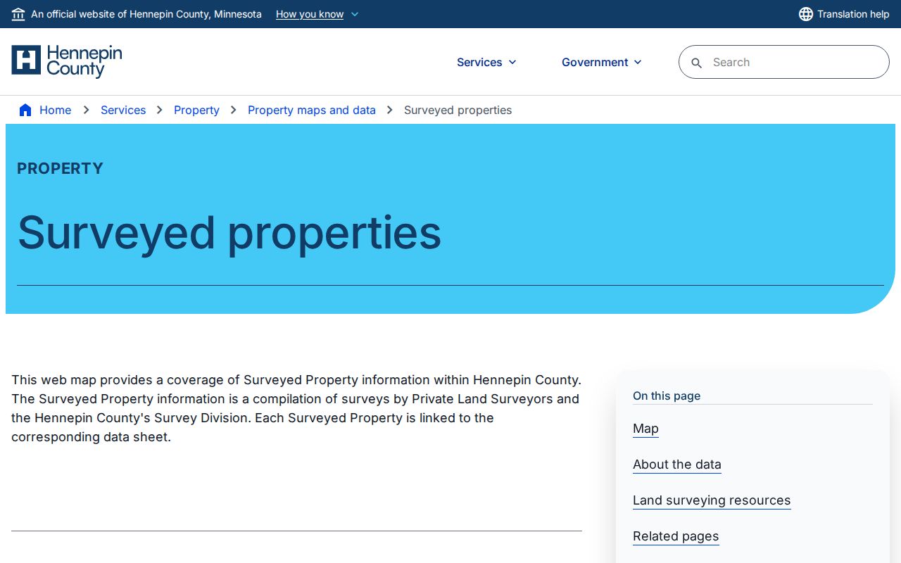
Use a survey sheet to locate the recorded geometry behind a parcel, then return to the recorded land documents for the legally controlling description. Historic aerial products can date development change, but they do not identify residents.
Plymouth Street Alias: County Road 47
One local street-name issue deserves its own search note. County Road 47 became Chankahda Trail in 2022. A search that uses only the modern name can miss older permits, directories, Planning Commission material, deeds, newspaper references, or minutes that used the county-road form. Preserve the address as printed in an older source, then create a normalized search version separately. Test County Road 47, CR 47, Chankahda Trail, the exact house number, and normal suffix or direction variants where the source allows them.
This is a records-geography issue, not a signal that two names mean two different parcels. Confirm the continuity with the legal description, PID, plat, or map layer. Plymouth's growth and shifting municipal forms also mean a historic record may describe a township, village, postal city, or suburban directory grouping rather than the present incorporated-city label.
Plymouth Permit Records by Street Address
For a city-specific address lead, Plymouth directs users to My Property Info, then Building Department, with a house number and street name only. Certain residential permits are available online. For other applications or incomplete results, the documented city route is the inspections office at inspections@plymouthmn.gov. The research did not expose the system's deep URL, complete field set, fee schedule, or retention period, so do not assume a missing online result means no permit exists.
Ask for a defined record category, such as a permit number, inspection date, or address-specific permit history. That gives the custodian a usable request and avoids an overbroad inquiry. The city has also warned about permitting impersonation messages that use public property or zoning context to seem credible. Verify a fee request through the city's published contact information, not through a number or link in an unexpected message.
Historic Plymouth Address Evidence
Historical address work is strongest when it joins a dated publication to a parcel or document trail. Hennepin Library Special Collections offers directories, newspapers, maps, yearbooks, photographs, and library-only digital resources. The digitized New Hope-Plymouth-Wayzata directories cover 1964 through 1983, and telephone holdings documented in the research run from 1960 through 1970. A criss-cross directory is a reverse-address directory, which can lead from an address to the listing printed for that year. It is archival evidence, not a current contact list.
The Plymouth History Center's research room adds newspapers, yearbooks, documents, photographs, and oral histories for family, school, neighborhood, and address history. Its materials are especially useful when a parcel establishes the place but not the community story. The historical shelf is described in more depth in the Plymouth Directory Book; use the published year and page with every address lead.
Note: Directory abbreviations, ditto marks, and resident markers can change meaning by year, so inspect the scan instead of trusting optical character recognition alone.
Plymouth ZIP Checks Before Street Research
Postal geography should be checked before a street search is narrowed. The official state listing identifies four ZIP codes for Plymouth, but it does not draw neighborhood borders or assign every road to a postal station. The USPS ZIP Code Lookup verifies delivery naming from a street address, city, and state. Compare that output with the county parcel's situs address and Plymouth city-limit layers. A ZIP is a delivery geography, not a municipal boundary and not proof that a person lives at the address.
PINS and the county property map did not expose a ZIP filter in the inspected research. Use a verified address or PID instead. Once a ZIP has narrowed the geographic question, the Plymouth Resident Lookup route handles a separate, person-specific verification question through the appropriate official record type.
Limits of Plymouth Street Research
A street directory cannot establish a complete present household. PINS may show a taxpayer, owner display, mailing field, or parcel data; a deed shows a recorded transaction; a map shows land context; a historical directory shows what it printed at a particular time. Minnesota voter registration is governed by statutory access and purpose rules, and protected classes of records remain protected. Driver and vehicle addresses are restricted. Safe at Home participants use assigned addresses, and their real locations must not be inferred or reconstructed.
Keep the minimum useful facts: source, date, record type, access limitation, and confidence. A blank result can reflect a spelling form, portal coverage, a pending update, a closed classification, or an unsearched custodian. It is not proof that a person has no connection to a place.