
Plymouth Previous Residents by Era
Past residents appear in different records at different points in time. Start with Hennepin property data and recorded instruments for a recent transfer. For a twentieth-century household, digitized suburban directories and telephone holdings can be more useful. Plat books, local newspapers, yearbooks, permits, and oral histories add context. Each source answers a narrow question. None supplies a complete current or historical resident roster.
| Source | Years it covers | Where held | What it shows |
|---|---|---|---|
| Recorder research | Recent online recording history limited to five years | Hennepin Recorder and public kiosks | Recorded parties and instrument trail |
| New Hope-Plymouth-Wayzata directories | 1964-1983 | Hennepin Library digital collection | Dated address and household lead |
| Plymouth telephone holdings | 1960-1970 shown in the finding aid | Minnesota Historical Society | Separate telephone listing lead |
| Hennepin plat books | 1885, 1887, 1892, 1898, 1903, 1914, 1940 | Library and Recorder sources | Addition, lot, and block context |
| Plymouth permits | Coverage date not stated | My Property Info or inspections staff | Address-keyed permit lead |
When a web result stops, Hennepin identifies kiosk, email, and in-person Recorder paths for older research. Use that fallback instead of treating an online gap as proof that no earlier owner or resident exists.
Plymouth Addresses Begin in PINS
Hennepin Property Information Search, commonly called PINS, accepts a house number and street name, with an optional unit. Its PID and addition tabs provide two more routes. A parcel result can include the situs address, PID, legal description, tax and assessment details, sales information, and recent recording references. Copy the PID and the address exactly as shown before changing a suffix or direction for another search.
PINS did not expose an owner-name field in the inspected portal. It is not a free owner-name directory. Move from a known address to a PID or legal description, then use the Recorder's appropriate index. A taxpayer or mailing address is not proof of a current occupant. The current PINS database updates on weeknights around 9:15 p.m. Central Time, so retain the access date with any present-day lead.
Note: Store an original address and a normalized portal version separately so that an old postal form is not lost.
Trace Plymouth Deeds Backward
The Hennepin Recorder research route anchors the transfer history. RecordEASE is the county's named public index route, but its public-search entry is credentialed and the county describes a five-year online recording-history window. For older chains, use public kiosks, the Recorder's one-time research option, or another county-provided access route. The research does not state a universal earliest online index year.
- Find the current parcel in PINS and save its PID, addition, lot, block, and legal description.
- Locate the latest recorded transfer using the legal description or recorded party route.
- Read the transfer date, document type, grantor, and grantee.
- Search the earlier owner as a grantee to locate the preceding acquisition.
- Repeat backward, then use the Recorder's older-record process when the online window ends.
- Grantor
- The party transferring an interest in a recorded document.
- Grantee
- The party receiving that interest and a possible next link in the chain.
- Chain of title
- The sequence of transfers and related instruments tied to one parcel.
- Legal description
- The recorded lot, block, addition, or land description that can outlast a street-name change.
Plymouth RecordEASE Needs a Fallback
RecordEASE is the public-index route for deeds, mortgages, assignments, liens, releases, satisfactions, certificates, and plats. Preserve the recording date, instrument number, document type, and legal description rather than relying on a street label alone. Hennepin has both Torrens and abstract parcels. A Torrens parcel has a certificate of title, while an abstract parcel does not, so note the title system when it affects a request.
Hennepin's land-title guidance is the source for the research path captured here. The image is an access reference, not evidence about any individual address.
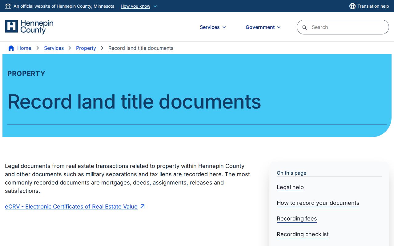
Request the original document or Recorder assistance before adding a transfer to a Plymouth address chronology.
Plymouth Previous Residents in Directories
The New Hope-Plymouth-Wayzata collection is the most specific digitized suburban directory run found for Plymouth, covering 1964 through 1983. Search the street in spelled-out and abbreviated forms. Check the scan rather than trusting OCR, and log the city heading, page, year, and printed address. The collections themselves are examined in depth in the Plymouth directory book.
Directory markers such as h, r, and b can vary by year, and a marker may run into the street number. Pair the directory year with a nearby newspaper, yearbook, permit, parcel, or deed record when practical. A telephone-book absence may mean only that the volume was a yellow section or that the number was unlisted.
Household flow: printed address → directory scan and year → earlier and later scans → newspaper or school context → dated parcel or deed confirmation. Preserve a conflict instead of forcing a single answer.
Chankahda Trail Splits Plymouth Searches
County Road 47 became Chankahda Trail in 2022. Search County Road 47, CR 47, Chankahda Trail, and the exact house number in old directories, deeds, permits, planning minutes, and newspaper indexes. Keep both strings in the notes. The rename is a local continuity issue, not evidence that a former street address was wrong.
Addition names create another records-geography check. PINS can search an addition with lot and block values. A plat and legal description can connect an old street phrase to the right parcel without guessing who lived there. Note: A map boundary becomes a legal conclusion only after it is checked against the recorded plat or survey.
Plymouth House-History Rooms
Hennepin Library's house-history guidance recommends a layered path through parcel and deed records, plat research, directories, permits, newspapers, maps, and photographs. Hennepin Special Collections holds directories, maps, yearbooks, clippings, and library-only digital tools. The Plymouth History Center adds old newspapers, yearbooks, documents, photographs, and oral histories for local context.
Some of those resources require an in-building library connection. Plymouth permit history should go through the city-specific route because Minneapolis permit-card dates do not apply to Plymouth. This is a lawful family, neighborhood, and building-history route, not a way to make a modern contact list.
The library house-history guide supplies the source sequence pictured below.
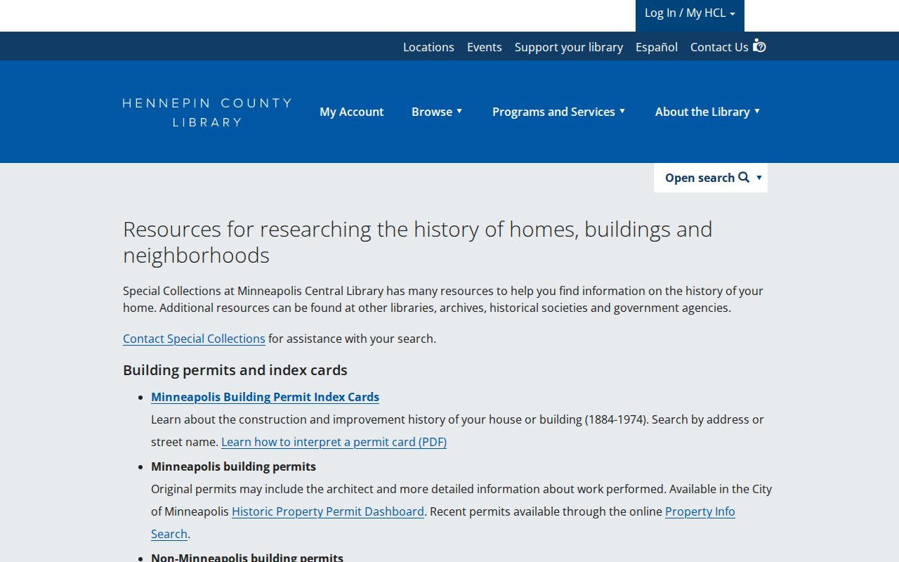
The strongest result is a source log with dates, pages, and unresolved aliases, not an unsupported story about a past household.
Plymouth Maps Mark Change
Hennepin plat books from 1885 through 1940 can explain an addition and lot-block layout. The county also lists historical aerial products for 1975, 1979, 1985, 1989, and 1994. These sources can date a subdivision or a building change. They do not identify occupants. Use current GIS and PINS for orientation, then a recorded source for legal boundaries.
The exact deep link and retention date for Plymouth My Property Info were not exposed in the research. Ask the city for a permit or inspection record by address or permit number rather than importing a schedule from another municipality.
Plymouth Previous Residents Need Limits
Keep historical research narrow and time-stamped. Minnesota Safe at Home protects a participant's actual address. Confidential vital records, sealed court records, private voter data, and private association information remain protected. An old directory entry is not permission to reconstruct a living person's private household details. If a source fails, log the URL and date, contact the custodian, and mark the lead unverified.
Lawful use. Plymouth previous-residents research is for house history, family history, estate and heir work, and local history. Do not use an address trail to stalk, harass, intimidate, or harm any person.